Service Benefits:
Smart spatial solutions for accurate planning and monitoring.
Advanced geospatial technologies for reliable project insights.
Geo Marine Consultants and Technocrats (GMCT) is a multidisciplinary engineering consultancy firm specializing in hydrographic surveys, geotechnical investigations, environmental engineering, and GIS solutions across India.
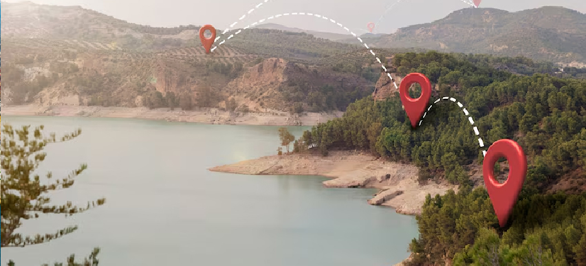
GMCT provides advanced geospatial intelligence solutions to support infrastructure planning, environmental monitoring, resource management, and data-driven decision-making. Our services integrate GIS technologies, remote sensing, UAV surveys, and spatial analytics for accurate and reliable insights.
By combining modern geospatial tools with field expertise, we deliver high-quality mapping, visualization, and analytical solutions that help organizations improve operational efficiency and sustainable planning.
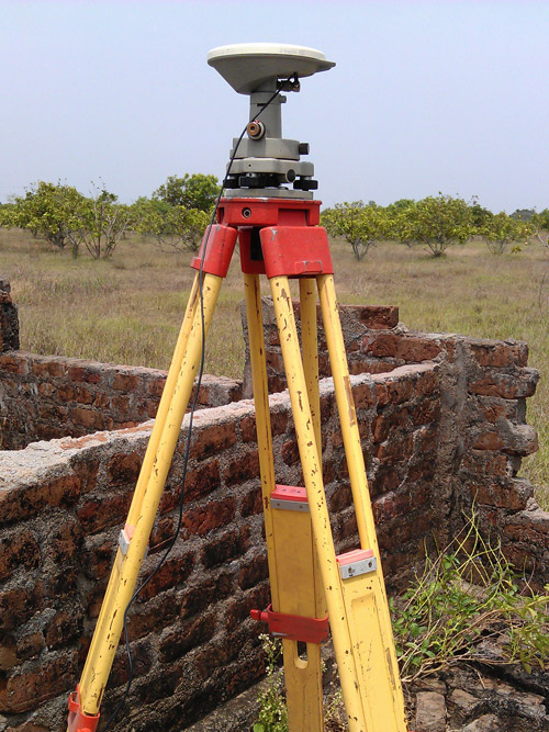
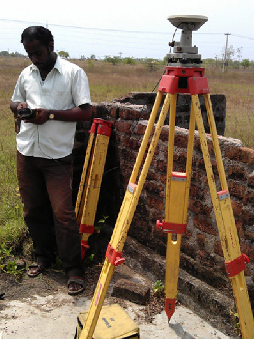
Our geospatial intelligence services include thematic mapping, satellite image analysis, terrain modelling, spatial database development, land use and land cover studies, and real-time environmental monitoring. GMCT supports government agencies, industries, and infrastructure developers with precise geospatial data that enhances planning accuracy, risk assessment, and strategic decision-making.

Smart spatial solutions for accurate planning and monitoring.
Advanced geospatial technologies for reliable project insights.
We provide modern geospatial solutions that help organizations visualize, analyze, and manage spatial information efficiently.

Geographic Information System solutions for spatial data management, analysis, and mapping.

Satellite and aerial remote sensing services for environmental and infrastructure monitoring.

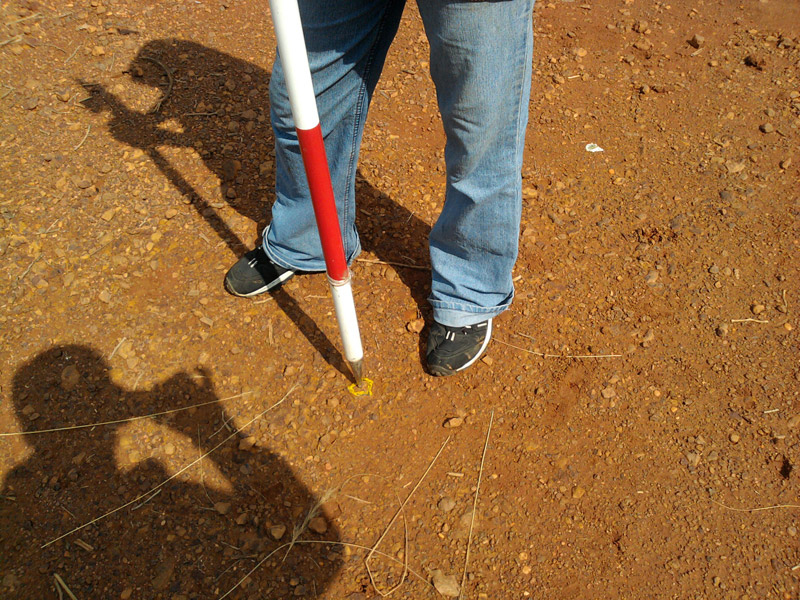
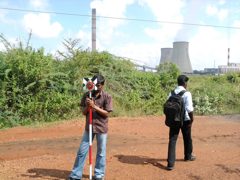
Drone-based UAV mapping and surveying for accurate terrain and infrastructure data collection.

Spatial analysis and modelling services to support planning and strategic decision-making.

Interactive environmental dashboards for real-time monitoring, visualization, and reporting.
Our geospatial intelligence services enable organizations to improve operational efficiency, optimize planning, and make informed decisions using accurate spatial information and advanced analytical tools.